Mapping the Impact of GIS
Think Again Feature
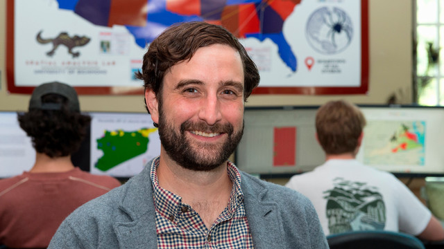
Kyle Redican’s Vision of Empowerment Through GIS
In a world where data-driven decisions are crucial, Kyle Redican is leading the charge in using Geographic Information Systems (GIS) to create impactful, community-centered change. As the Director of the Spatial Analysis Lab (SAL) and a Program Specialist for the School of Professional and Continuing Studies (SPCS) GIS Professional Certificate, Redican’s work focuses not only on teaching GIS but on leveraging this powerful tool to solve pressing social and environmental issues.
 After completing his PhD in Geography, Redican’s path took him to the University of Richmond, where he now combines his love of teaching with his passion for using GIS to empower students and serve the community. “I fell in love with GIS education because it’s an advanced technology that’s essential across so many fields, but it’s also something students can understand and connect with,” said Redican. “The visual nature of maps helps make complex spatial analyses and statistics more intuitive.”
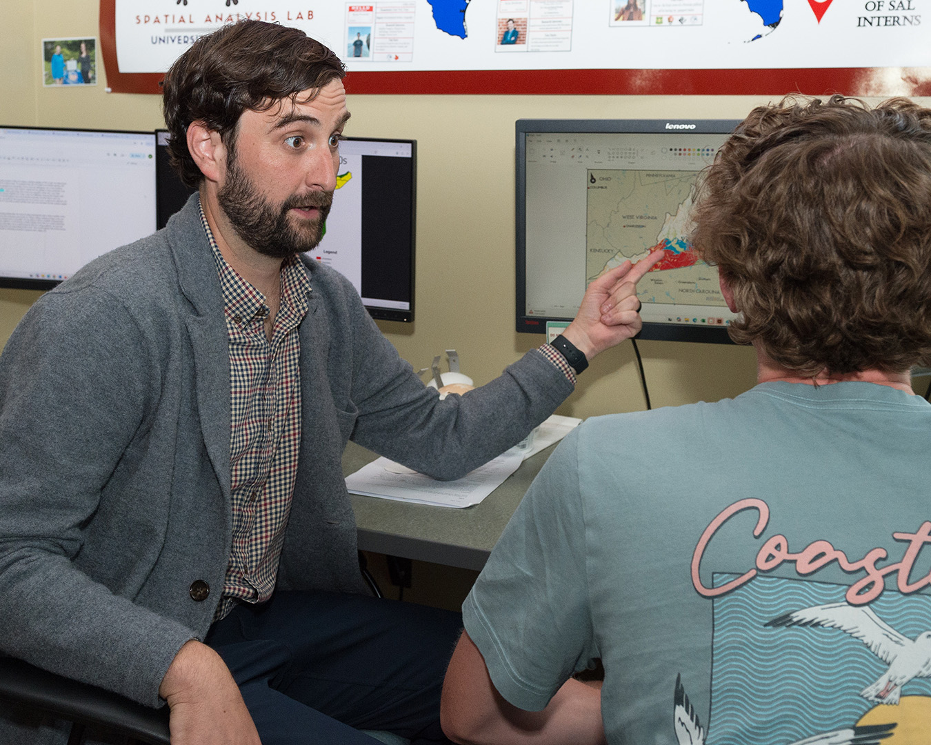
Redican’s approach to GIS education goes beyond the classroom. He believes that GIS can serve as a bridge between the academic world and the broader community, enabling students to engage with real-world challenges while helping local organizations and leaders make informed, data-driven decisions.
Redican’s teaching style aims to empower students with the skills to tackle both professional goals and community-focused projects. “Some students arrive with no GIS background at all,” Redican explained. “The goal of the program is to support all of these paths through empowering students to explore and apply professional geospatial analysis in ways that meet their own career goals while also contributing valuable skills to their workplaces and communities.”
Throughout his career, Redican has worked on GIS projects that have made an impact on the Richmond community. These projects are not just about creating maps — they are about using spatial data to solve problems, engage residents, and amplify voices that may have been overlooked.
I fell in love with GIS education because it’s an advanced technology that’s essential across so many fields.
Unpacking the Census is a long-running project that uses GIS to create maps to illustrate the spatial dimensions of racial and economic inequality. “What makes this project impactful is not just the maps themselves, but the way they are shared: through community presentations, classroom use, publications, and workshops that help local residents, educators, and decision-makers better understand the spatial dimensions of racial and economic inequality,” Redican stated. “Students gain valuable GIS skills, while community members gain accessible tools to advocate for their neighborhoods.”
Another impactful project Redican has worked on is in partnership with the City of Richmond and the Historic Jackson Ward Association. The team digitized 1950s census data and used GIS to created interactive tools that allow residents to explore their personal histories. “These tools allow current residents to search for their family members, reconnecting with personal histories and reinforcing the neighborhood’s deep cultural legacy,” he said.
 Redican also contributed to the Live and Learn report and website, a project that examines the relationship between housing and school segregation patterns in Richmond. This GIS-driven report translated spatial data into visual narratives that help community leaders understand the connections between residential patterns and educational inequalities. The report “culminated in a public presentation in fall 2024, bringing together residents, planners, teachers, and policymakers to discuss the findings and start conversations about policy change,” Redican explained. “GIS in this case was not just a tool for analysis, but a catalyst for dialogue and community action.”
Redican’s efforts to integrate the SAL into the GIS program have created opportunities for students to apply their classroom knowledge to real-world projects. One standout example involved a student tackling technical issues in a project to monitor greenhouses across Virginia. With help from an SAL intern, the student developed a tool with real-world environmental applications. “As an educator, this is exactly the kind of collaborative, community-centered learning I hope to foster,” Redican commented, “where GIS becomes both a tool for solving problems and a way to connect students across disciplines, experiences, and professional goals.”
Looking ahead, Redican hopes to strengthen the relationship between the SPCS GIS program and local organizations. “I want to create a more structured system where community organizations can directly submit project ideas or requests to SPCS students, ensuring that final projects have real-world relevance and direct community impact,” Redican explained. “This formalized connection would also help students better understand the applied power of GIS while giving community partners access to valuable spatial insights and analysis.”
Through his work in GIS education and community engagement, Kyle Redican is proving that maps are more than just pictures — they are powerful tools for change. By connecting students with real-world projects and helping communities visualize data, Redican is shaping the future of GIS as an accessible, impactful tool that can empower individuals, amplify community voices, and drive meaningful change. In a world increasingly driven by data, Redican’s work is a testament to the transformative potential of GIS in creating a more informed, connected, and equitable society.